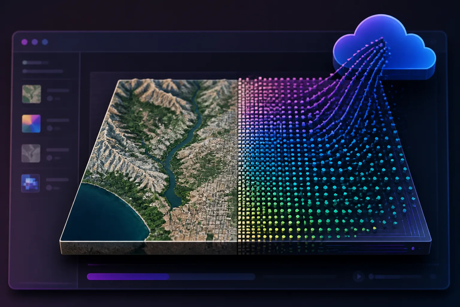
Published August 12, 2026 — OlmoEarth Studio now permits users to compute and export embedding vectors produced by the open-source OlmoEarth foundation models. The exported files are Cloud-Optimized GeoTIFFs (COGs) with one band per embedding dimension and are intended for downstream analysis with standard geospatial tools.
How embeddings are generated and delivered
Embeddings are computed on demand in Studio: users select an area of interest (drawn or uploaded), a time span (1–12 monthly periods), encoder variant, spatial resolution, and imagery sources (Sentinel-2 L2A, Sentinel-1 RTC, or both). Encoder options are Nano (128-dim, 1.4M params), Tiny (192-dim, 6.2M params), and Base (768-dim, 89M params). Studio outputs a COG with vectors stored as signed 8-bit integers (int8), where values span -127 to +127 and -128 denotes nodata; floating-point vectors can be recovered via dequantize_embeddings in olmoearth_pretrain.
Examples and reported performance
The OlmoEarth team reports that embeddings compress multisensor Earth-observation data into vectors that group locations with similar surface characteristics. Published examples use OlmoEarth-v1-Tiny (192-dim) at 40 m resolution with Sentinel-2 L2A inputs.
Illustrated applications include:
- Similarity search: cosine similarity between a query pixel and every other pixel produces heatmaps that highlight landscape analogues without labels.
- Few-shot segmentation: a logistic regression trained on 60 labeled pixels (20 per class) over Ca Mau, Vietnam, using ESA WorldCover 2021 labels produced a wall-to-wall map with weighted F1 = 0.84, according to the authors.
- Change detection: monthly embeddings compared by per-pixel cosine distance flagged the Park Fire burn scar (July–September 2024) in Butte County, California.
- Unsupervised exploration: PCA reduction to three components yields false-color images that reflect landscape structure (example: Flevoland agricultural parcels).
The developers note that embeddings were validated in internal benchmarks and independent evaluations, and that larger encoder variants (Base, 768-dim) encode richer representations at higher compute and storage cost.
OlmoEarth Studio also supports supervised fine-tuning (SFT) to train task-specific heads when higher performance is required. Users can compute embeddings via the Studio UI or API, download COGs compatible with QGIS, GDAL or rasterio, or reproduce results locally using the publicly available model weights and accompanying tutorials.
Original source: Hugging Face Blog